
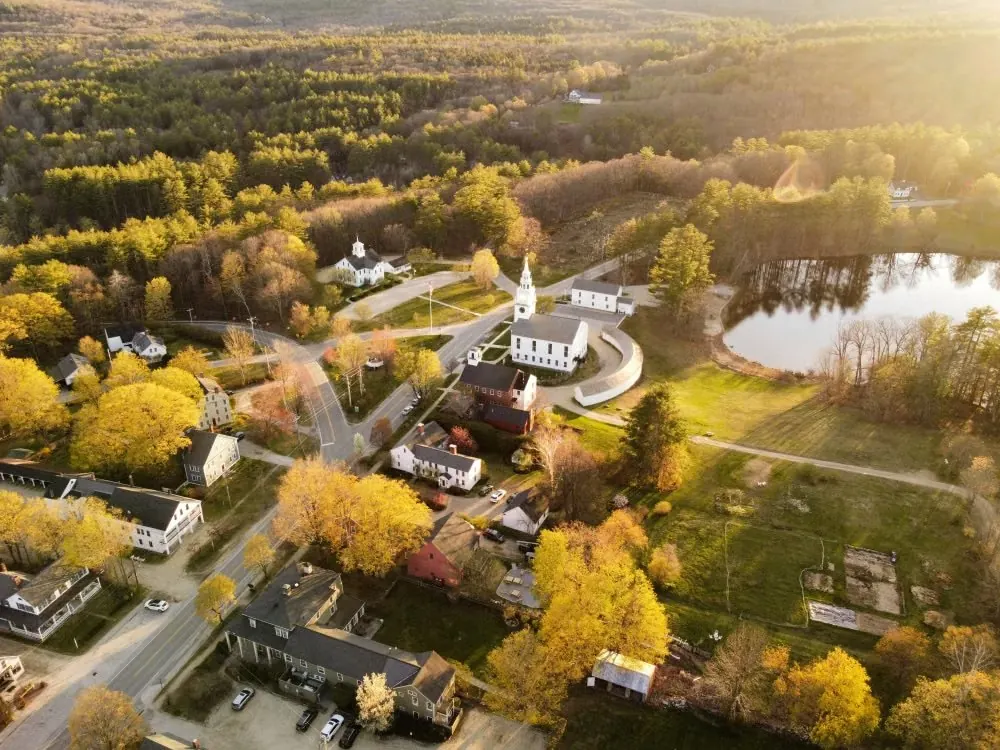
Map of Hudson, New Hampshire
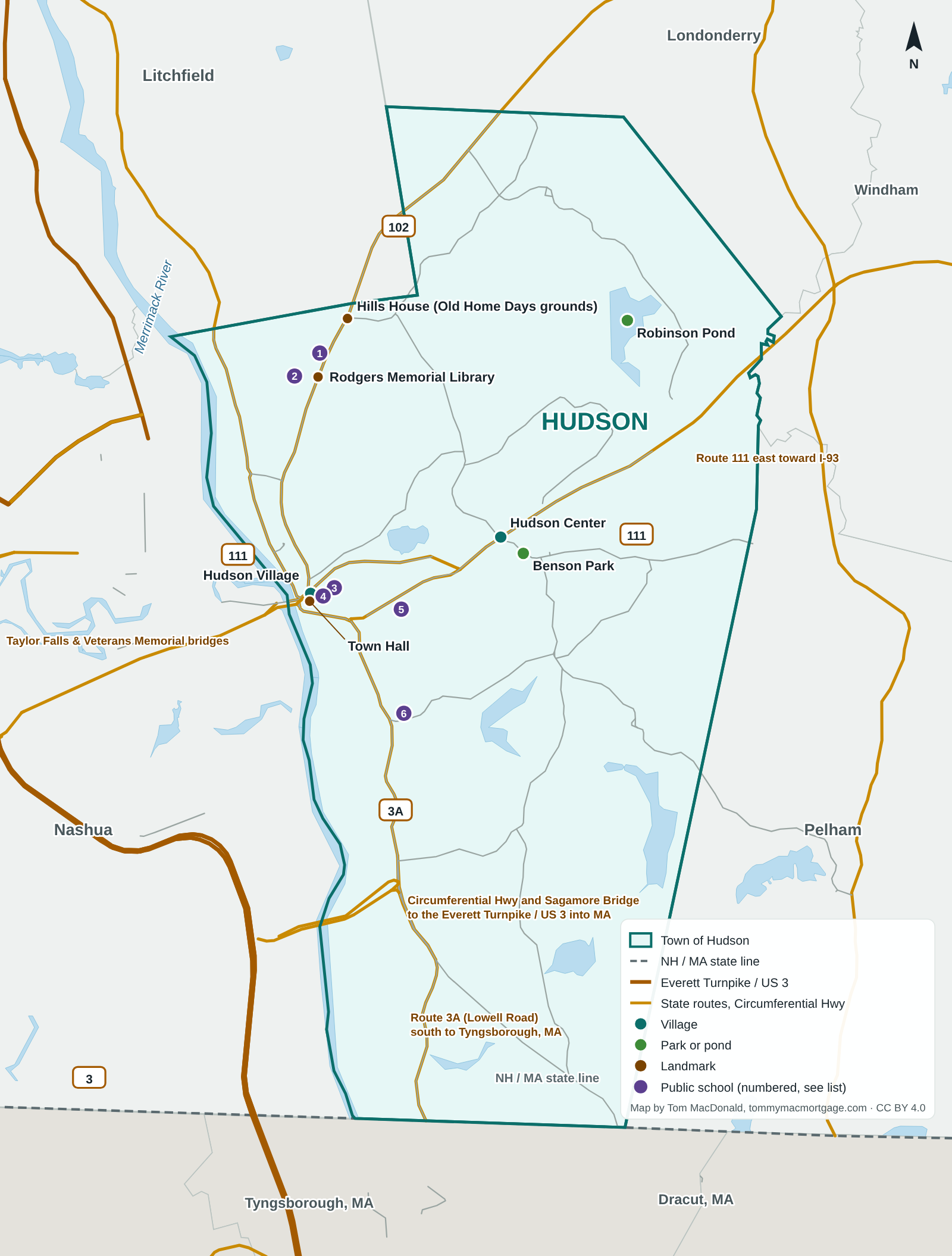
A free map of Hudson, NH, for people moving to or buying in town: its villages, parks, landmarks, public school locations, the main routes and the bridges to Nashua, and the roads south into Massachusetts.
 By Tom MacDonald, Loan Officer · Updated October 29, 2026Elite Mortgage GroupNMLS #2748687Company NMLS #2502308MBR
Places labeled on the Hudson map
School names and locations: NCES 2024-25.
- Hudson Village (USGS GNIS (Hudson populated place))
- Hudson Center (USGS GNIS)
- Robinson Pond (USGS GNIS; Town of Hudson Parks and Trails)
- Benson Park, 19 Kimball Hill Road (Town of Hudson Parks and Trails; location from the Census geocoder)
- Rodgers Memorial Library, 194 Derry Road (Rodgers Memorial Library; Census geocoder)
- Hills House (Old Home Days grounds), 211 Derry Road (National Register of Historic Places listing; Census geocoder)
- Town Hall, 12 School Street (Town of Hudson; Census geocoder)
- 1. Alvirne High School, 200 Derry Rd. (NCES 2024-25)
- 2. Hills Garrison Elementary School, 190 Derry Rd. (NCES 2024-25)
- 3. Dr. H. O. Smith Elementary School, 33 School St. (NCES 2024-25)
- 4. Library Street School, 22 Library St. (NCES 2024-25)
- 5. Hudson Memorial School, 1 Memorial Dr. (NCES 2024-25)
- 6. Nottingham West Elementary School, 10 Pelham Rd. (NCES 2024-25)
Public schools are shown by location and name only. Village names are labels, not boundaries.
Roads and crossings
- Route 3A (Lowell Road) runs south to Tyngsborough, MA.
- Route 111 crosses the Merrimack River into Nashua on the Taylor Falls and Veterans Memorial bridges and runs east toward I-93.
- Route 102 runs northeast toward Londonderry.
- The Circumferential Highway crosses the river on the Sagamore Bridge to the Everett Turnpike (US 3), which continues south into Massachusetts.
Free to share with credit
Use this map on a website, in a newsletter or in a welcome packet. Please credit: Map by Tom MacDonald, Elite Mortgage Group, tommymacmortgage.com/hudson-nh-map. Licensed CC BY 4.0.
Hudson resources
- Hudson by the numbers
- New to Hudson checklist
- Hudson property taxes
- Moving from Massachusetts to Hudson
- Hudson, NH mortgages
Buying in Hudson? Tom MacDonald, a loan officer with Elite Mortgage Group who lives next door in Litchfield, is glad to help. Call or text 603-851-4982.