

Which flood maps cover the Seacoast?
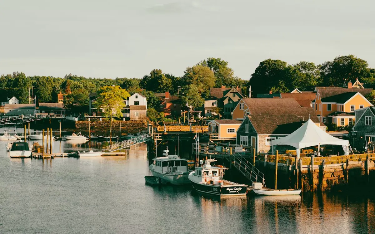
Lenders use FEMA's Flood Insurance Rate Maps. For Rockingham County, which includes the coast from Seabrook to Portsmouth, updated coastal flood maps took effect on January 29, 2021, according to NHDES. They reflect a newer coastal flood study and more detailed ground elevation data, so a home's zone may differ from what an older listing or an older survey shows.
Flood zones aren't only on the ocean. Rivers, lakes, ponds and marshes inland have mapped flood areas too.
When is flood insurance required?
When a building sits in a high-risk flood area, called a Special Flood Hazard Area (the zones on FEMA's map that start with A or V), federal law requires flood insurance as a condition of a federally backed mortgage. That covers most home loans, including loans from federally regulated lenders and loans sold to Fannie Mae or Freddie Mac.
The rule turns on the building, not the whole lot: if only part of the land is in the zone and the house isn't, the federal requirement doesn't apply. A lender may still ask for flood insurance in other cases, and any owner can choose to carry it.
How do I check a home's flood zone?
- Look up the address on the FEMA Flood Map Service Center.
- The state's NH Flood Hazards Viewer shows FEMA's zones on an easier map with an address search; NHDES points Seacoast residents to it.
- Ask the seller whether they carry flood insurance today and whether they have an elevation certificate for the house.
- Your real estate agent can add the flood zone question to the offer timeline.
What happens during the loan?
Early in the loan, the lender orders a flood zone determination for the property using FEMA's current map. If the house is in a high-risk zone, the lender gives you written notice that flood insurance is a condition of the loan, and the policy has to be in place by closing.
The premium is part of your housing cost, and on many loans it's collected monthly in escrow along with your homeowners insurance and property taxes. The closing costs guide shows where the first year's premium fits.
Why get an insurance quote early?
FEMA now prices flood policies for each property, based on its own flood risk, so a neighbor's premium won't tell you yours. Ask a licensed insurance agent for a quote during your inspection period, before your financing deadline, and give Tom the quote so your monthly estimate is complete. FEMA's FloodSmart site can help you find an agent who writes flood insurance.
Questions about coverage go to the insurance agent. Tom can tell you what your loan will need and when.
What about flood zones in Merrimack River towns?
Flood zones aren't only on the coast. The Merrimack River runs past Manchester, Merrimack, Litchfield, Hudson and Nashua, and smaller rivers and brooks across southern New Hampshire have mapped flood zones too. The same FEMA maps and lender rules apply: check the address on the FEMA Flood Map Service Center or the NH Flood Hazards Viewer before you make an offer. Garages, barns and other buildings can raise their own insurance questions; see flood insurance and your mortgage.
Town pages: Manchester, Merrimack, Litchfield, Hudson and Nashua.
Seacoast town pages
Local notes, tax rates and loan limits: Portsmouth, Hampton, Stratham, Durham, Dover and Exeter.
Sources
- NHDES, Rockingham County coastal flood maps become effective in January 2021
- NH Floodplain Management Program, floodplain maps for NH communities
- FEMA, NFIP Questions and Answers: Flood Insurance for Real Estate Professionals (August 2025)
- FEMA Flood Map Service Center
- NH Department of Business and Economic Development, floodplain newsletter, Spring 2021 (Risk Rating 2.0)
Checked October 2026. Limits and program rules change, so confirm current figures before you rely on them.
General information only, not tax or legal advice. Program availability, eligibility and terms vary by lender and are subject to change and to underwriting approval. Not a commitment to lend.